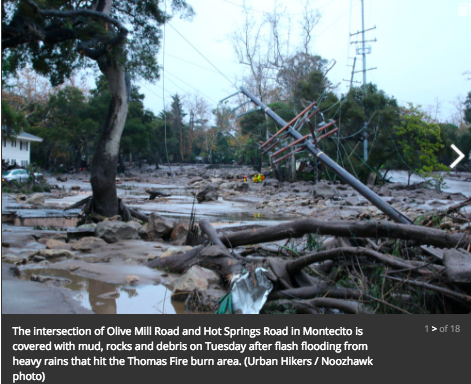
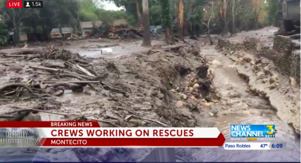
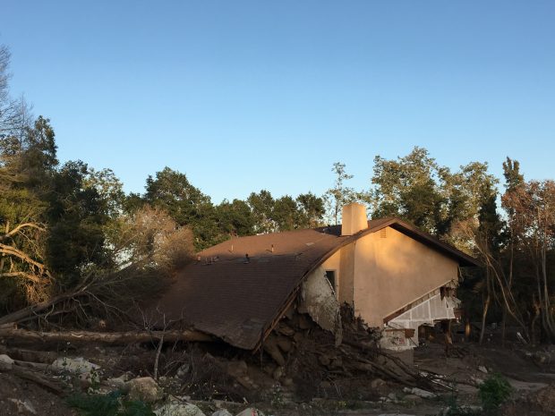
 The drought in California began in 2012. With the first major storm of the season expected to hit Southern California on Monday, January 8th 2018 evacuations had been ordered for communities below hillsides charred by California’s largest-ever wildfire. Several years of regrowth of the burned plant life will be needed before the watershed in the Thomas Fire burn area is stable. A normally dry creek most of the year can turn it into a raging river of rocks and mud and trees that can damage people’s properties, it can take out roads and it can be a threat to life and safety. At 3 am the rain came down ferociously. Mud, water, boulders and debris surged out of Cold Spring and Hot Springs canyons above Montecito. The deadly slurry from Montecito Creek carved a course of destruction down nearly to the ocean. Hot Springs Road/Olive Mill Road appeared to be at the epicenter of the disaster.

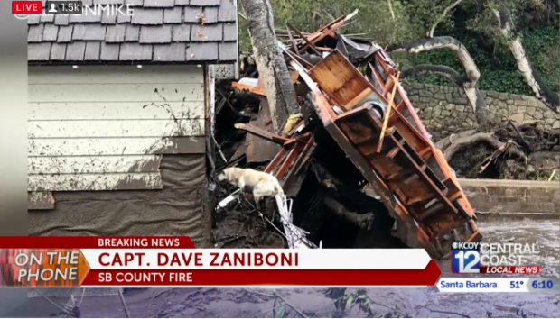
Boulders are strewn across Hot Springs Road in Montecito left by flash flooding. (Mike Eliason / Santa Barbara County Fire Department photo).
Much of the damage and many of the casualties occurred in areas that were under evacuation warnings rather than mandatory evacuation orders. Emergency radio traffic also indicated numerous reports of people trapped inside structures and vehicles and unable to evacuate, and 9-1-1 lines were being overwhelmed.
“Take protective actions to stay safe which may include sheltering-in-place or seeking high ground, avoiding power lines and trees, staying off roads and highways, and do not attempt to leave and drive across flowing water or mud,” the county said in an advisory message sent out around 5:30 a.m. Tuesday … ending at 5:30 a.m., Montecito had received 1.3 inches of rain. Sadly … aside from the fatalities not all residents have been accounted for yet. The rescue crews are working tirelessly to bring everybody to safety. 
<—- 12 hours later …
